Record rainfall in D.C. as severe storms move east
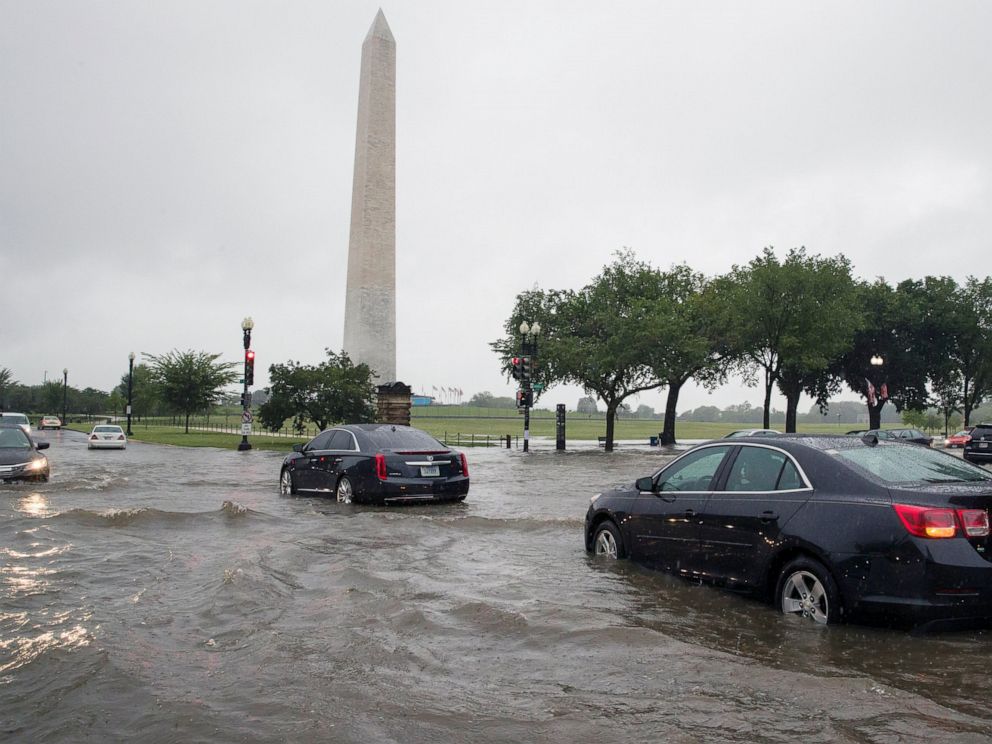
The nation’s capital saw more than 3.4 inches of rain on Monday — a daily record — with most of it falling in a single hour as nearby regions saw half a foot and flash floods.
Interested in Weather?
More than 100 water rescues were required in and around Washington, D.C., on Monday, including 15 people saved from vehicles trapped by high water.
Flash flooding also was reported Tuesday morning in south-central Nebraska, some parts of which just saw 9 inches of rain. Areas of North Dakota received up to 5 inches of rain overnight, also producing flash flooding.
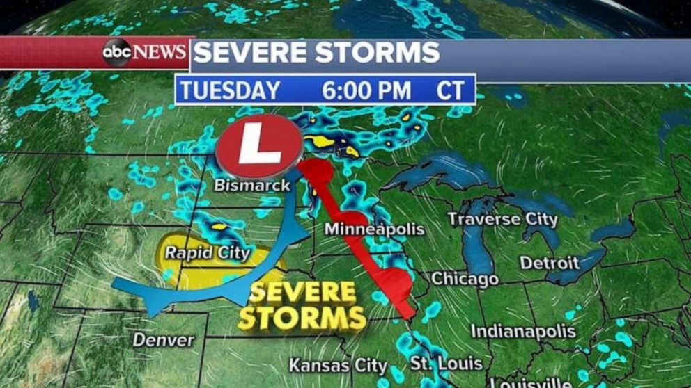
More flooding is possible later on Tuesday as a new system moves through the Plains and western Great Lakes. The most severe storms are likely to be in Wyoming, South Dakota and Nebraska, all of which could see damaging winds, hail or an isolated tornado.
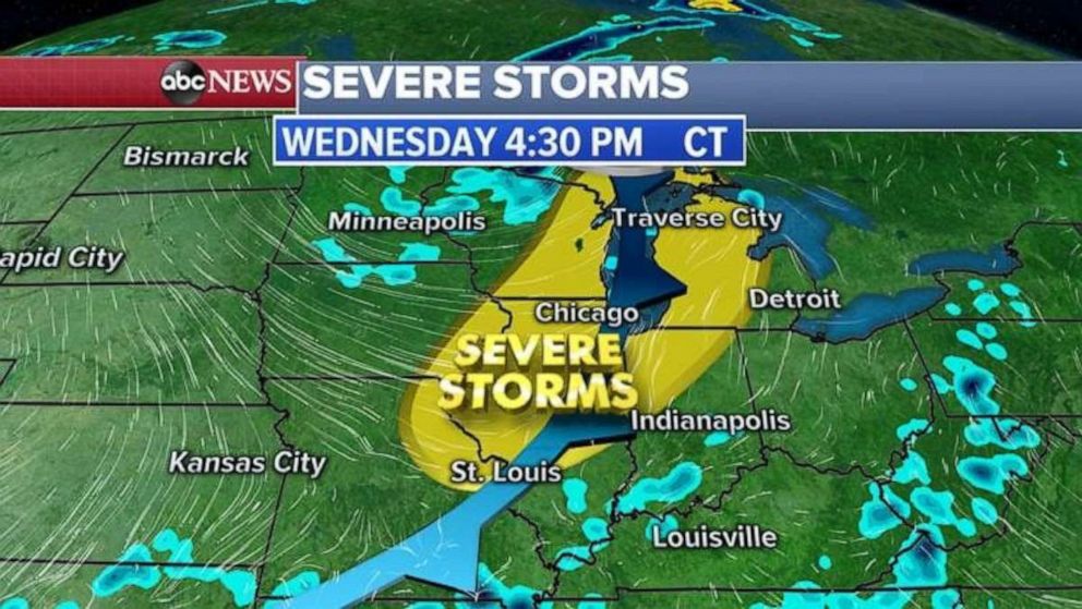
This system on Wednesday is expected to head east and produce severe storms in the Midwest and Great Lakes regions. Damaging winds, hail and an isolated tornado are again the most likely threats.
Source: Read Full Article


